GEOGRAPHY
Jamaica Parishes and sizes
Kingston (Capitol) 22.66 sq.km
St Andrew 432.9 sq.km
Portland 813.9 km2
St, Thomas 742.2 km2
St. Catherine 190.6 sq km
St. Mary 611.3 sq km
St. Ann 1,210.25 sq km
Manchester 827.8 sq km
Clarendon 1,192.9 sq km
Hanover 450.8 sq km
Westmoreland 785.2 sq km
St. James 591.2 sq km
Trelawny 874.3 sq km
St. Elizabeth 1205.67 sq.km
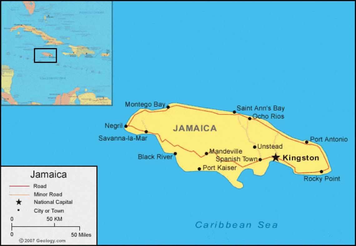
Jamaica is an island country of the West Indies. It is the third largest island in the Caribbean Sea, after Cuba and Hispaniola. Jamaica is about 146 miles (235 km) long and varies from 22 to 51 miles (35 to 82 km) wide. It is situated some 100 miles (160 km) west of Haiti, 90 miles (150 km) south of Cuba, and 390 miles (630 km) northeast of the nearest point on the mainland, Cape Gracias a Dios, on the Caribbean coast of Central America. The national capital is Kingston.
Jamaica has over 100 rivers, although many are unexplored and not navigable. The height of the mountains causes them to run swiftly in deep beds, and their courses are sometimes broken by waterfalls. The Black River is the largest (widest) river in Jamaica. It is 73 kilometers long, and for 28 kilometers from its mouth it is navigable for small vessels.” (My Island Jamaica)
Today, there is an increased interest in rafting and other watersport activities with Jamaica’s rivers, and therefore, some of the once unexplored rivers are now used for these purposes.
For the most part though, the rivers in Jamaica are still used for irrigation and domestic purposes particularly by the rural folks.
The Rio Minho is the longest river in Jamaica. It rises close to the mainland’s geographic centre, flowing generally south-southwest, reaching the Caribbean Sea at Carlisle Bay in the central south coast, to the west of the island’s southern-most point, Portland Point. The town of May Pen in Clarendon lies on the banks of the it.
Jamaica also has underground rivers in the limestone region of Jamaica, for example, the Hectors and Cave Rivers.”
The interior mountains and plateaus cover much of Jamaica’s length, and nearly half of the island’s surface is more than 1,000 feet (300 metres) above sea level. The most rugged topography and highest elevations are in the east, where the Blue Mountains rise to 7,402 feet (2,256 metres) at Blue Mountain Peak, the island’s highest point. Karst (limestone) landscapes with ridges, depressions, and sinkholes (“cockpits”) characterize the hills and plateaus of the John Crow Mountains, the Dry Harbour Mountains, and Cockpit Country, a region covering 500 square miles (1,300 square km) in western Jamaica. The Don Figuerero, Santa Cruz, and May Day mountains are major landforms in the southwest. Coastal plains largely encircle the island, and the largest alluvial plains are located in the south.
Find out more information about the geography and agriculture: www.discoverjamaica.com/gleaner/discover/geography/agriculture.htm
References: Britannica; The Gleaner; Jamaica Information Service; My Island Jamaica
Contributor: Tania N. Sutherland
5 Comments
Jhon Miller
This is the most amazing website for interesting content and music! The personalities and deejays are cool too.
Thanks for the updates!
Miki Williams
I loved the show, it was fantastic!
John Howard
How can I become a member? I would like to share my story.
pożyczka online
I got what you intend,bookmarked, very decent website. https://pozyczkiland.pl/
chwilówki online
I reckon something truly special in this website. https://chwilowki-pozyczka.pl/